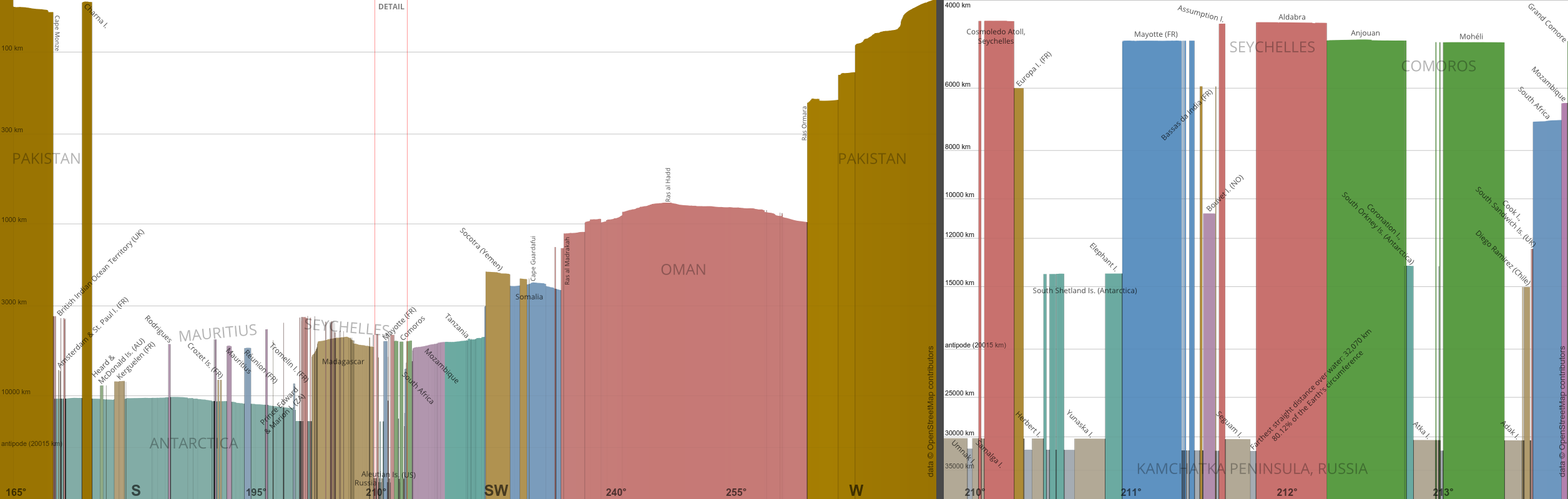
“Some random user on Reddit posted a picture claiming that this is the longest straight line path on water possible on the Earth. We implemented a smart algorithm to solve this problem, found the elevation data, ran our algorithm... yes, that random user was right. Also, here's the longest path on land.”
Thanks, I really enjoyed reading it, even though I hoped that they would disprove the original claim!
Edit: here are the gcmap links to the two paths: sea [1], land [2].
[1]: http://www.gcmap.com/mapui?P=25%B017%27N+66%B040%27E-58%B037...
[2]: http://www.gcmap.com/mapui?P=24%B033%27N+118%B038%27E-37%B02...
Before he made the video visualization using Google Earth, he actually went to the library and used a string on a real globe. [3]
1: https://www.reddit.com/r/MapPorn/comments/15mwai/the_longest...
Like this: https://svs.gsfc.nasa.gov/5477/
Hope it makes sense.
http://www.gcmap.com/mapui?P=10%B0+24%27+41.4%22+N,+14%B0+31...
Or, using nearby airports: https://www.greatcirclemap.com/?routes=gucy-vmmc
Most people would assume Portugal.
Nope, you're looking (over the curve of the earth, of course), at Morocco. Look just a tiny bit to the south and you're looking at the rest of West Africa. Look Southwest and you're looking at Australia, or even Brazil.
It never occurred to me they would face the shortest distance to Mecca. I've looked it up and apparently it's a point of contention in North America, although the great circle seems to be standard. Interestingly there are landmasses around the antipode of Mecca, which means your direction would vary wildly as you travel around.
But apparently, it's the middle of the ocean, although there does appear to be an atoll very close by: https://en.wikipedia.org/wiki/Tematagi
Walkable, maybe, but definitely not drivable (it crosses directly over the Alps, for example).
The longest mettled straight route with minimal deviation would also be an interesting exercise.
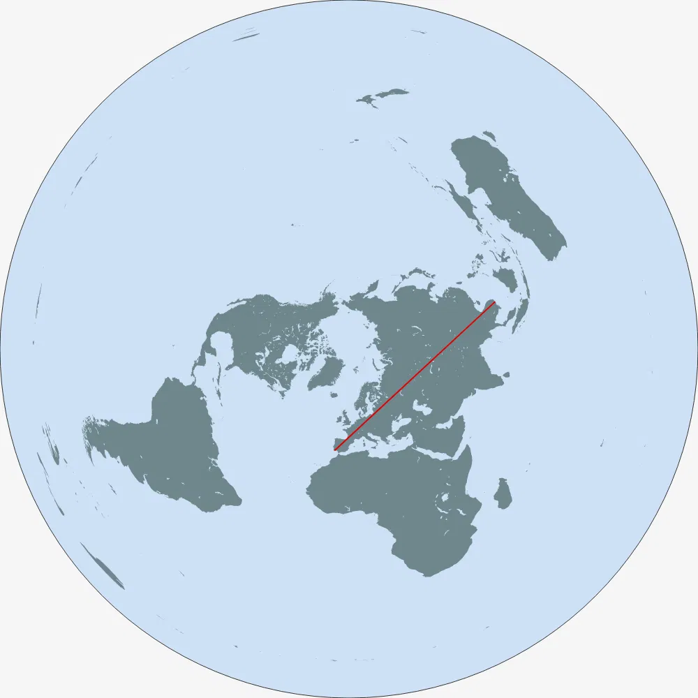
Over land, I think you want to start near the westernmost point of the African continent and thread the needle of the Isthmus of Suez, and stay south of the Caspian Sea. At least in the projection gcmap.com uses (plate carree - essentially the x-coordinate and y-coordinate are just raw longitude and latitude), this keeps you south of Lake Baikal and allows you to get very far east in far eastern Russia. Something like 17.5 N, 16 W to 69 N, 178.5 E seems to work:
http://www.gcmap.com/mapui?P=17.5n16w-21.79n0.21e-26.08n16.4...
Of course this depends on the projection you use!
This is different from the Portugal-to-China path that is the longest over land in reality, which a flat-earther would have crossing the Mediterranean.
I think it would be something like Portugal-Kamchatka:
But if you do not believe in a globe how do you understand projections?
I guess my biggest surprise is that there is a straight line through the Beagle straight.
Use your feet, car centric person.
edit: and the article already notes this longest possible path from Portugal to China, citing a 2023 article: https://bigthink.com/strange-maps/these-are-the-worlds-longe...
"technically incorrect the worst kind of incorrect".
Depends on where and when.
Plenty of puddles form around the bases in summer.